
When looking at a map of Indonesia, it is easy to notice the spaces between the islands.
Blue stretches of water appear to separate Sumatra from Java, Java from Kalimantan, Sulawesi from Maluku, Maluku from Papua, and thousands of smaller islands from one another.
From a land-centred perspective, the sea can look like a gap.
A distance.
Something that must be crossed before reaching somewhere else.
But what if we looked at it differently?
What if, for many communities across the Indonesian archipelago, the sea was never simply the space between places?
What if it was one of the things that connected them?
When Water Was a Pathway
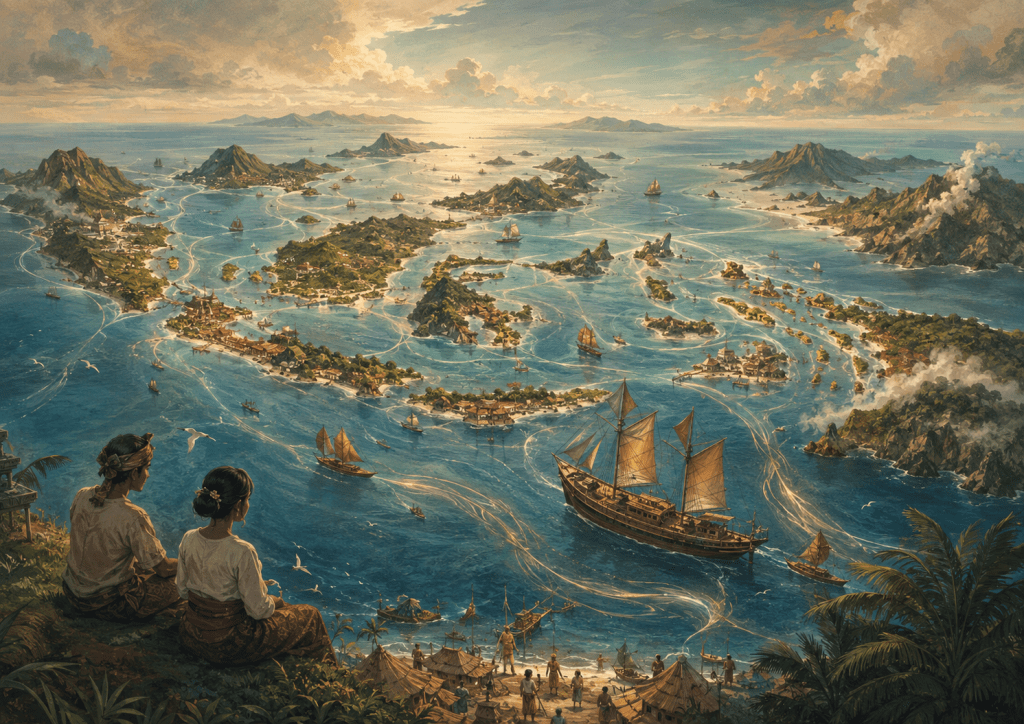
This image is an artistic illustration created for this post. It is not an accurate or official map of Indonesia, but a symbolic representation of the archipelago and the sea as a space of connection.
Long before modern roads, airports and administrative boundaries shaped the way we imagine Indonesia, people travelled through the archipelago by water.
Boats carried people, food, tools, stories, languages, beliefs and knowledge.
Coastal settlements and ports became meeting places. People did not only exchange goods; they encountered different communities and ways of understanding the world.
These maritime connections extended across the archipelago, from the western islands of Sumatra and Java, through Kalimantan, Sulawesi and Maluku, and eastward towards Papua.
In this sense, the sea was not empty space.
It was a pathway.
The movement of people across water created relationships between places that might appear distant when viewed from land.
A community on one island could have social, cultural or economic connections with another community across the sea.
The coastline was not necessarily the end of someone’s world.
Sometimes, it was where another world began.
Islands Do Not Always Mean Isolation
Today, we often describe Indonesia as a country made up of thousands of islands.
The description is geographically correct, but the way we imagine those islands matters.
If we see every island as an individual piece of land surrounded by water, we may unconsciously imagine Indonesia as a collection of separated territories.
But an archipelago can also be understood as a network.
Within that network, the sea is part of the connection.
People navigate through it.
They depend upon it.
They learn its seasons, currents and winds.
They build livelihoods around it.
And through generations of movement, maritime routes can become social and cultural routes as well.
This is also important when thinking about eastern Indonesia. Maluku and Papua should not be imagined simply as distant edges of the map. They are part of wider maritime worlds shaped by movement, exchange, coastal relationships and connections extending across surrounding seas.
Perhaps this is one reason why understanding Indonesia only from the land gives us an incomplete picture.
The Sea Carries More Than Boats
The sea has carried much more than vessels.
It has carried language.
Food.
Music.
Family connections.
Trade.
Migration.
Religious ideas.
Technology.
Stories.
And memories.
Across generations, these movements contributed to the extraordinary diversity that exists throughout Nusantara, including the many distinctive coastal and island communities of eastern Indonesia and Papua.
Different places maintained their own identities, yet they were rarely completely disconnected from the worlds around them.
The sea allowed encounters to happen.
Sometimes peacefully.
Sometimes competitively.
Sometimes through migration, trade, political expansion or conflict.
Maritime connection does not mean that the history of the archipelago was always harmonious.
But it reminds us that water has continually participated in shaping relationships between people and places.
Changing the Way We Look at the Map
Perhaps we can try a small exercise.
Look at a map of Indonesia again.
This time, instead of looking first at the islands, look at the blue.
Look at the Malacca Strait.
The Java Sea.
The Makassar Strait.
The Flores Sea.
The Banda Sea.
The Arafura Sea.
The waters surrounding Maluku and Papua.
And the many other seas and straits that weave around and between the islands.
Suddenly, the map can tell a slightly different story.
The water does not disappear.
It becomes part of the geography we pay attention to.
And when we begin recognising the sea as a space of movement, memory and interaction, Indonesia starts to look less like scattered pieces of land and more like an interconnected maritime world stretching from Sumatra to Papua.
What Does This Mean for Maritime Identity?
Being an archipelagic country does not automatically mean that everyone identifies with the sea.
Many Indonesians grow up far from the coast. Their everyday lives may be shaped more strongly by farms, mountains, cities, rivers or forests.
This is particularly important in a country as geographically and culturally diverse as Indonesia, where communities in places such as the highlands of Papua may have relationships with landscape that are very different from those of coastal communities.
Maritime identity therefore does not need to mean that every Indonesian must think like a sailor.
Perhaps it can mean something broader.
It can begin with recognising that the sea has played an important role in shaping the relationships between our islands, communities and histories.
The sea can be understood not only as a resource to use or a boundary to defend, but also as part of the cultural and geographical fabric that has connected people across Nusantara.
And perhaps that changes one simple question.
Instead of asking:
What separates one Indonesian island from another?
We might also ask:
What has connected them?
Sometimes, the answer has always been there—
flowing quietly between the shores.
The sea.

